Among Turkiye’s many fascinating regions, the Bodrum Peninsula stands out as one of the most visited and beloved areas. Located in the Aegean region, it offers a unique blend of ancient history, local culture, and modern life. It’s no surprise that visitors keep returning to Bodrum for unforgettable experiences.
Although we often refer to the area simply as Bodrum, it is actually made up of several charming towns and villages. From Turgutreis to Yalikavak, each destination has its own special appeal, offering a diverse range of experiences to suit all tastes. Whether you enjoy bustling markets or relaxing on serene beaches, there’s always something new to discover.
Additionally, the peninsula’s prime location on Turkiye’s southwest coast makes it an ideal starting point for exploring other must-see spots in the Aegean region. From Bodrum, you can easily reach historical cities like Ephesus or natural wonders like Pamukkale. Understanding the layout and distances within the Bodrum Peninsula will help you explore this fascinating area with ease, make the most of your journey.
In This Article
Overview of the Bodrum Peninsula
The Bodrum Peninsula is situated on the southwest coast of Turkiye, in the country’s Aegean Region. Bordered by the Aegean Sea to the west, the Gulf of Gokova to the south, and the Gulf of Gulluk to the north, the peninsula has become a must-visit destination for tourists seeking both relaxation and adventure.

One of the key attractions of this land of Aegean delights is its rich blend of charming towns, tranquil beaches, and historical landmarks that dates back thousands of years. For instance, the ancient city of Halicarnassus, now modern Bodrum, was once home to the Mausoleum at Halicarnassus, one of the Seven Wonders of the Ancient World. Even today, the ruins of this ancient site continue to draw history enthusiasts from around the world.
What also sets the Bodrum Peninsula apart is its favourable Mediterranean climate, characterized by long, hot summers and mild winters. This climate makes it an appealing destination year-round, whether you want to swim in crystal-clear waters, enjoy outdoor activities, or explore the region’s historical and natural wonders. With so many sights and experiences to offer, learning how to efficiently navigate Bodrum will help you get the most out of your visit and fully experience the beauty of the area.
Natural Beauty and Geography of the Peninsula
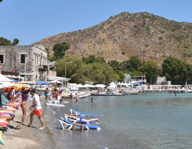
The Bodrum Peninsula covers 557 square kilometres, offering an incredibly diverse landscape. Its coastline extends for 174 kilometres, providing numerous bays, beaches, and coves that make it a paradise for beach lovers. Some of the most well-known beaches include Bitez Beach, known for its family-friendly atmosphere and windsurfing opportunities, Gumusluk Beach with its peaceful surroundings, and Camel Beach, famous for its sandy shores and breathtaking views of the Aegean Sea.
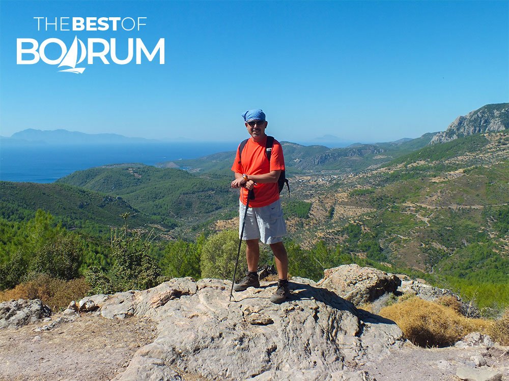
However, the peninsula’s beauty extends beyond its beaches. The inland hilly terrain provides excellent opportunities for outdoor activities such as hiking and nature walks. The peninsula is home to two major mountains – Yaran Mountain, which rises to 879 meters, and Pazar Mountain, at 690 meters. These peaks offer panoramic views of the surrounding sea and islands, with trails that allow hikers to explore the area’s rich flora. Pine and cedar forests, along with endemic plants, herbs, and flowers, enhance the experience for nature lovers.
The coastal scenery is equally captivating, with small islands visible from many points along the shoreline. For photographers and outdoor enthusiasts, the natural beauty of the region provides endless opportunities for exploration.
A Gateway to Other Aegean Attractions
The Bodrum Peninsula is not only a natural gem with rich historical significance. It also serves as a convenient gateway to other attractions and destinations in the Aegean region. You can easily take day trips to nearby historical and natural landmarks. For example, a short drive from Bodrum will lead you to Ephesus, one of the most well-preserved ancient cities in the world. Another nearby marvel is Pamukkale, known for its unique white terraces of mineral-rich waters, as well as the ancient city of Hierapolis.
Closer to Bodrum, the town of Milas offers more history, with its ancient ruins and traditional Turkish culture. Whether you’re looking to relax on a beach, explore ancient history, or discover nearby attractions, Bodrum serves as an ideal base for your travels.
Diverse Towns and Villages: Something for Every Traveler
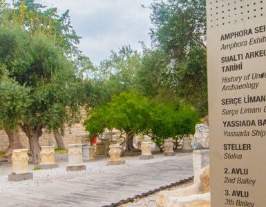
The charm of the Bodrum Peninsula lies not only in its historical sites and natural beauty but also in its variety of towns and villages. Bodrum town is the most famous, known for its lively nightlife, historic landmarks, and popular marina. Visitors can explore Bodrum Castle, a fortress that now houses the Museum of Underwater Archaeology, which features fascinating relics from ancient shipwrecks.
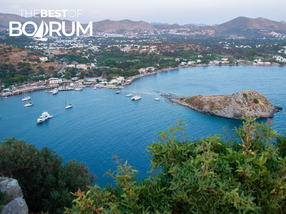
For those seeking a more relaxed atmosphere, towns like Yalikavak and Turgutreis provide a different experience. Yalikavak is popular for its luxurious lifestyle, upscale restaurants, and stylish boutiques, while Turgutreis has a more traditional feel with its local markets and stunning sunsets. Gumusluk, a quiet village known for its peaceful ambiance, delicious seafood, and beautiful coastal views, is another favourite among visitors.
Each town and village on the Bodrum Peninsula has its own distinct character, offering a range of experiences for every type of traveller.
Connecting with Nearby Destinations
Another advantage of travelling to Bodrum is its prime location, which makes it a convenient hub for visiting other must-see destinations. From Bodrum, you can easily reach iconic places such as Fethiye, Marmaris, or Datca, each of which offers its own mix of adventure, history, and relaxation. Whether you’re interested in diving into ancient ruins, enjoying a vibrant coastal town, or exploring natural wonders, the Bodrum Peninsula is the perfect starting point.
Planning these excursions is easier with the help of a Bodrum map, which will not only help you navigate the peninsula itself but also assist in charting your trips to nearby special locations. Understanding the distances and travel times will help you make the most of your time in this captivating region and locate the best hiking, swimming, and sightseeing spots.
The Timeless Appeal of the Bodrum Peninsula
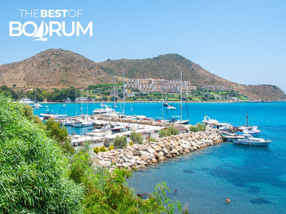
The Bodrum Peninsula provides an unparalleled travel experience, combining breathtaking natural landscapes, rich historical sites, and modern amenities. Whether you’re exploring ancient ruins, relaxing on a beach, hiking through mountains, or enjoying a meal at a seaside seafood restaurant, the region provides endless possibilities for every kind of traveller.
With its blend of history, culture, nature, and entertainment options, Turkiye’s Aegean coast is not just a vacation destination, it’s an experience that you’ll remember long after you leave. Whether you’re visiting for the first time or returning for another adventure, the Bodrum Peninsula will never fail to captivate you.



Add comment